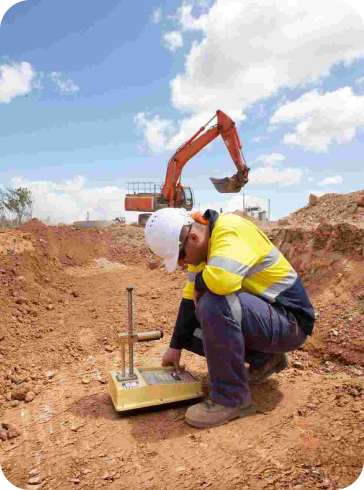
A Feature Survey is a scaled diagram of your land and its features, measured scientifically and mapped accurately so you can rely on it. A Feature Survey created by land surveyors to show the exact height and location of significant natural and manufactured features, plus ground levels and contours. A soil report is a detailed information on the soils of an area subject to the new build. The soil report has maps with soil boundaries and photos, descriptions, and tables of soil properties and features. Soil reports are used by engineers and builders who desire information about the soil resource.
Our engineering team will service promptly upon request.